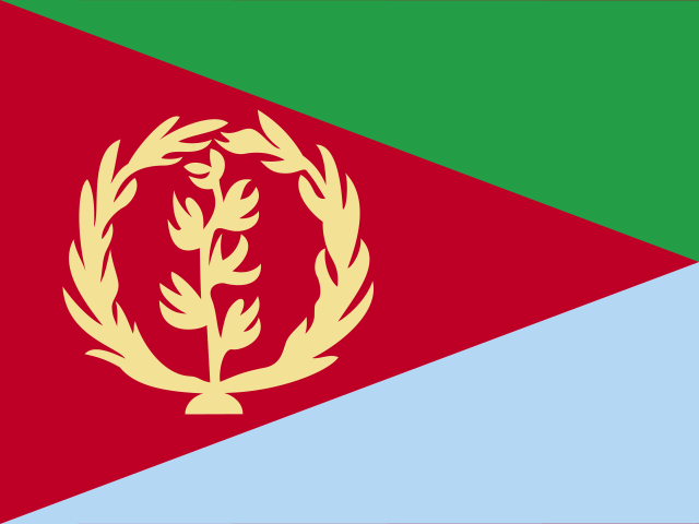
- Just need a few free ones? Browse the live free Eritrea list.
The place
Where Keren sits
Keren is the largest listed city in Anseba and the second-largest in Eritrea, home to about 75,000 people.
It sits 70 km northwest of Asmara, in the far south-east of Anseba, up at 1,399 m.
Local clocks run on Asmara time (Africa/Asmara).
Keren marked on Eritrea, Asmara shown for scale.
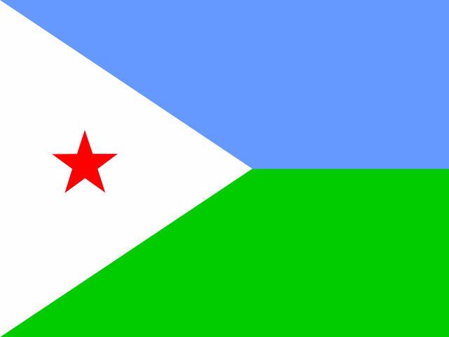
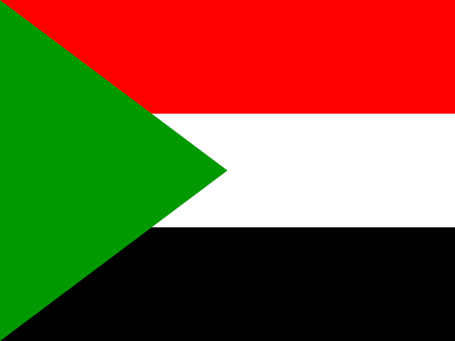
Nearest countries we cover
No Eritrea exits today, so here's what we do have
Each of these has live residential exits and its own page with prices. A line aimed at any of them works the moment you generate it.


Trust
Who you are buying from
Same network, same team and same terms behind every page on this site, Keren included.
Rated by paying customers

114 reviews on Trustpilot, 92% of them five-star. The badge links to the live profile, judge for yourself.
Real people, around the clock
Live chat sits on every page, bottom right. Ask about Keren targeting before you pay and a person from the team that runs the network answers, whatever the hour.
Terms that do not trap you
Pay as you go, no subscription, and a balance that never expires. Not ready to spend? The free Eritrea list is public and measured around the clock.
Nearby
The closest cities to Keren
The closest places we list are Tantarua (2.2 km), Dzhinfa (2.4 km), Fredarb (2.9 km). In all, 51 listed places sit within 20 km. Each has its own page.
Need the whole Anseba picture? Anseba proxies.
FAQ
Keren proxy questions, answered
No. None of our residential pools has an exit anywhere in Eritrea today, so there's no Keren IP to sell. The nearest countries we do cover are Djibouti, Sudan and Ethiopia.
In Anseba, Eritrea, 70 km northwest of Asmara. The local timezone is Asmara time (Africa/Asmara). It lies up at 1,399 m.
Place data: GeoNames (CC BY 4.0). Map outline: Natural Earth. Population figures are the dataset's listed values, not proxy counts.